01
Fast
A high-definition survey, and the model that follows it, in a fraction of the time of traditional methods.
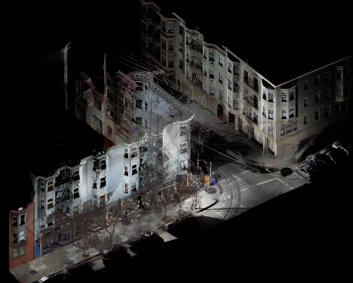
We turn existing spaces into accurate 3D models. The scan is non-invasive, so complex structures and difficult sites are mapped without damage, and without stopping the work already underway.
[01] The practice
Laser scanning maps structures, ground falls, and architecture without cutting, closing, or disturbing the site.
Places that are impractical or unsafe to measure by hand are recorded from a safe position, and the building is left as it was found. The same method works for a single room or a full site, and puts more information into the first visit so nobody is sent back to fill a gap.
[02] Services
From a single point cloud dataset, we produce the record the project needs, from survey drawings to full models and clash reports.
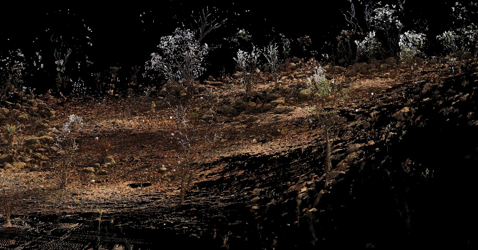 S / 01
Accurate drawings of the natural and man-made features in a defined area, including ground falls.
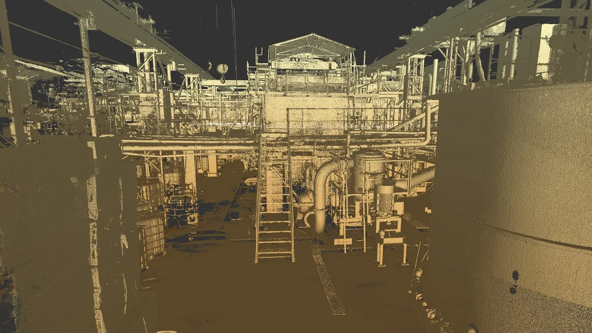 S / 02
Conflicts between a project model and the as-built environment, identified, assessed, and reported.
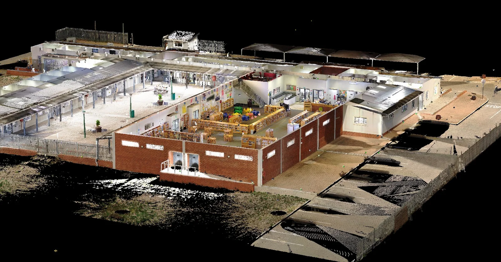 S / 03
A measured record of the structure, so areas can be assessed without a return visit for every dimension.
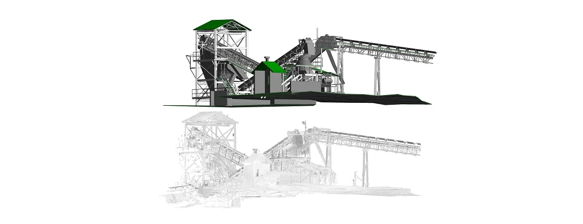 S / 04
Built work checked against the design model, with the point cloud and the model overlaid.
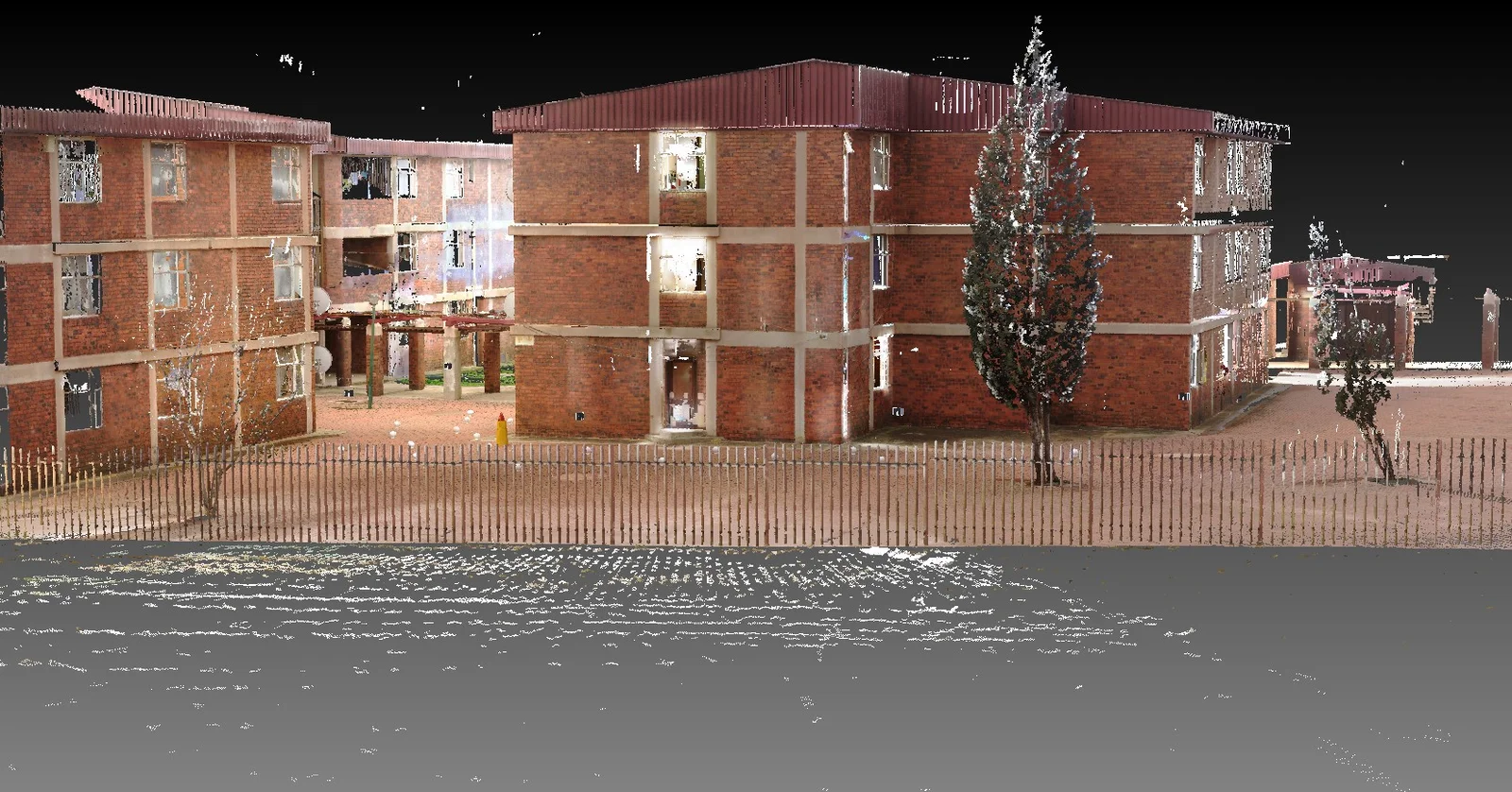 S / 05
The registered model on its own, for teams who draught their own drawings from the cloud.
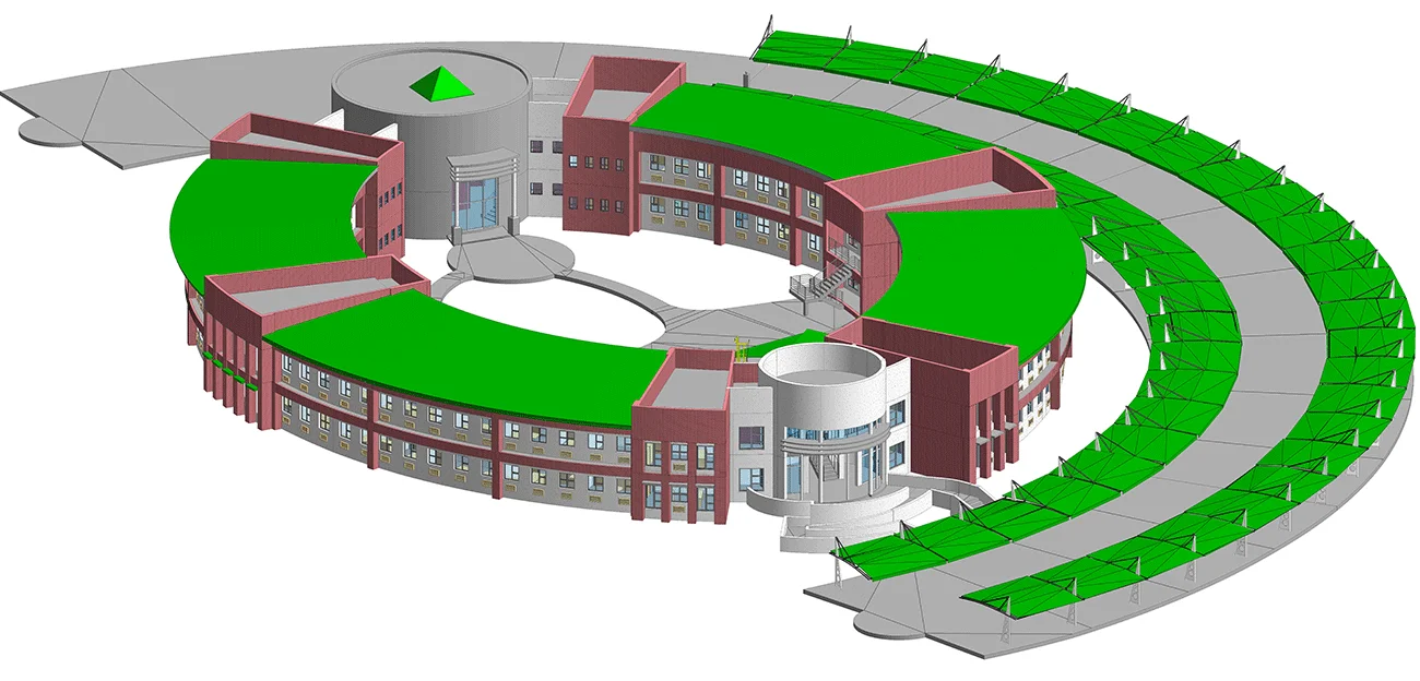 S / 06
3D models and 2D plans of the building as it stands, at the level of detail the project needs.
[03] Why a scan
A tape measure records the points someone chose to take. A scan records the space itself, and holds on to the detail long after the team has left site.
A high-definition survey, and the model that follows it, in a fraction of the time of traditional methods.
Millimetre accuracy. A variance tolerance report can be issued with each scan, so the accuracy is on record.
Exported to the formats the project already uses, not a format the team has to work around.
Less time and manpower on site, and enough detail in the first capture that less gets redrawn.
[04] From capture to file
Millions of points are only useful once they are registered, modelled, and handed over in a format the project can open.
A high-definition survey of the site, including areas that are hard or unsafe to reach, without closing anything.
Individual scans are registered into one point cloud. A variance tolerance report can be issued, so the accuracy is documented.
3D models and 2D plans at the level of detail required. Where a design model exists, it is overlaid for clash and construction checks.
Exports in the formats the project already uses. Teams who model in-house can take the registered cloud instead.
[05] Sectors
Three areas of work where a measured record changes the outcome, and where a missed dimension costs the most.
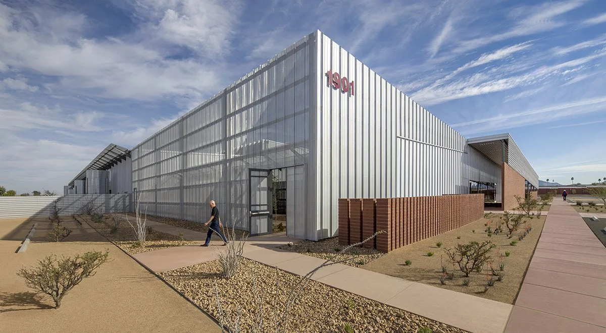
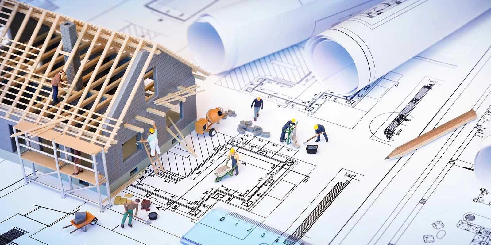 01
Space planning, as-built records, and a check of what was built against what was drawn.
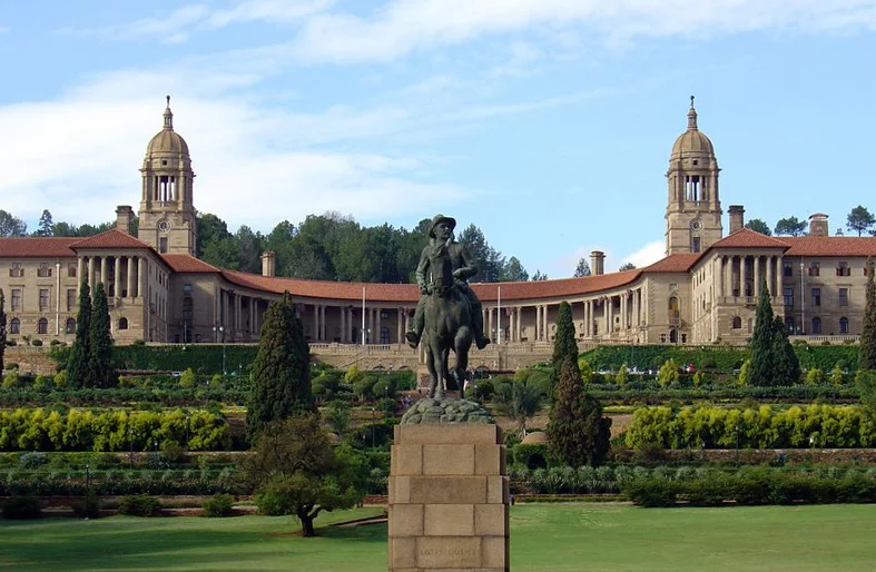
 02
A non-invasive record that does not stop the floor, and limits the risk of damage to plant.
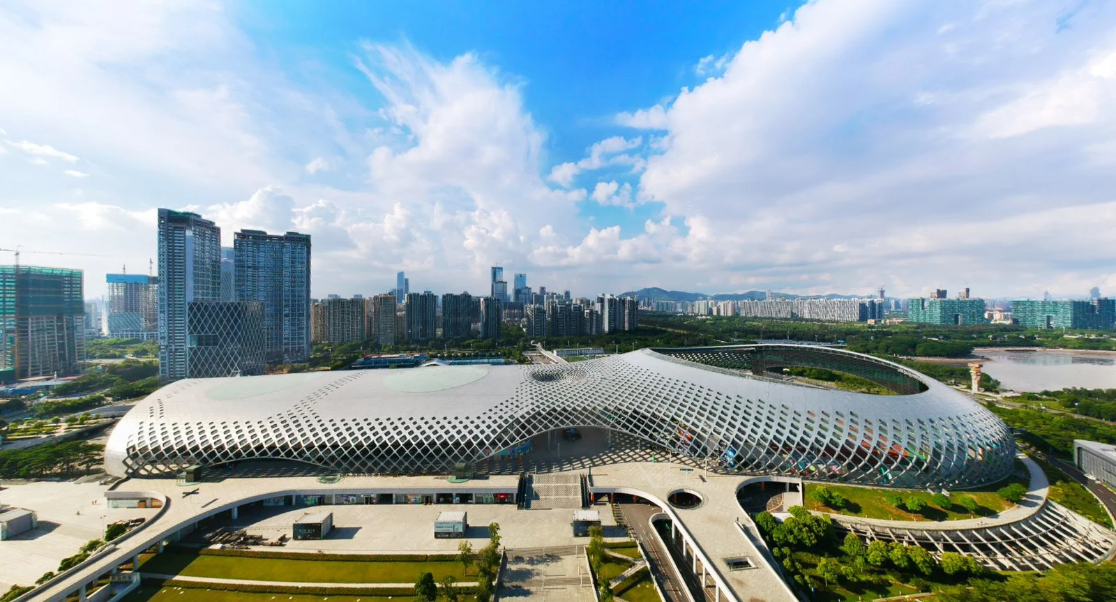
 03
More of the building in one visit, so inaccurate data does not send anyone back to site.
[06] Selected work
Case studies sit here: the site, the scan, the deliverable, and what it changed. The frames below are layout only until real engagements are supplied.
A short account of the scan, the deliverable, and what it changed for the project. Add the hero image of the point cloud or model here.
Sector and city to be supplied.
Sector and city to be supplied.
Trusted by
Placeholder · replace with client logos[07] Questions
What clients usually want to know before the first site visit.
Something else? Call +27 82 877 7270 or send a note.
Scans are captured to millimetre accuracy. On request, we issue a variance tolerance report with the scan, so the accuracy is documented alongside the deliverable.
No. Laser scanning is non-invasive. Nothing is cut, opened up, or moved, and the work already underway can carry on around the capture.
We export to the formats your project already uses, so your team is not working around an unfamiliar file. Tell us your software when you enquire.
Yes. If your team draughts from point cloud data, the registered point cloud can be the deliverable, without a finished model.
Our service is set up to make laser scanning viable on small projects as well as large ones. One visit captures more of the building, so you are less likely to pay for a return trip to fill a gap.
We have offices in Durban, Pretoria, and Cape Town. If your site is further afield, get in touch and we will talk through the logistics.
Start a project
A short note on the building, the deliverable you need, and where it is. We will come back with an approach and a quote.