01
Fast
Survey to model in a fraction of the time of traditional methods.
About Archiscan
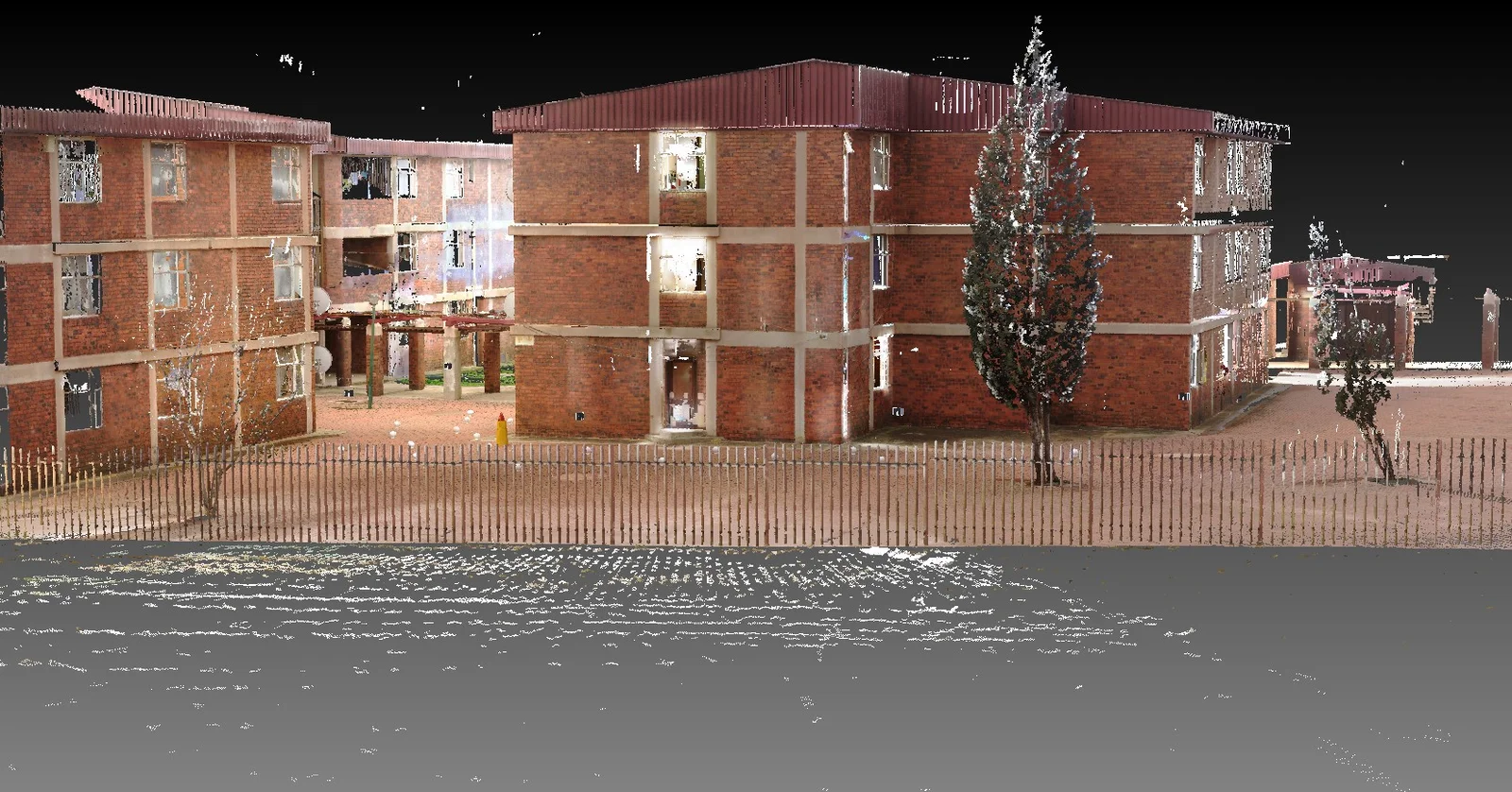
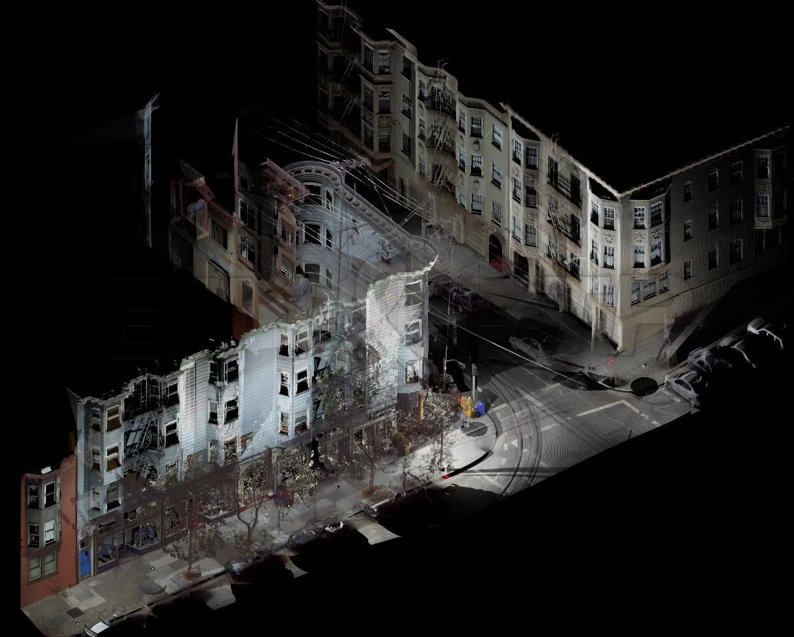
Archiscan captures real spaces and defines them as accurate 3D models. The method is non-invasive, so the site keeps working while it is measured.
[01] The practice
Laser scanning maps structures, ground falls, and architecture without cutting, closing, or disturbing the site. Spaces that are impractical or dangerous to measure by hand become straightforward, and the building is left as it was found.
The same service is used on large projects and small ones. It is there to raise capacity, productivity, and accuracy against traditional methods, and to put more information in the first visit so the team is not called back to fill a gap.
[02] How the work is judged
Every project is measured against the same four outcomes, whatever the size of the site.
Survey to model in a fraction of the time of traditional methods.
Millimetre accuracy, with a variance tolerance report available on each scan.
Exports in the formats the project already uses.
Less time and manpower, and less redrawing because the first capture held the detail.
[03] Offices
One published number covers the practice. Street addresses were not on the current site.
Placeholder · street addresses to be supplied
29.86° S · 31.02° E
25.75° S · 28.23° E
33.92° S · 18.42° E
[04] People
No names are invented here. These cards are the slots for the people who run the scans and draw the models.
Role to be supplied
PlaceholderRole to be supplied
PlaceholderRole to be supplied
Placeholder
Start a project
A short note on the building, the deliverable you need, and where it is. We will come back with an approach and a quote.